Snow Coming to Southwest Virginia-11:15AM December 25
December 24, 2010
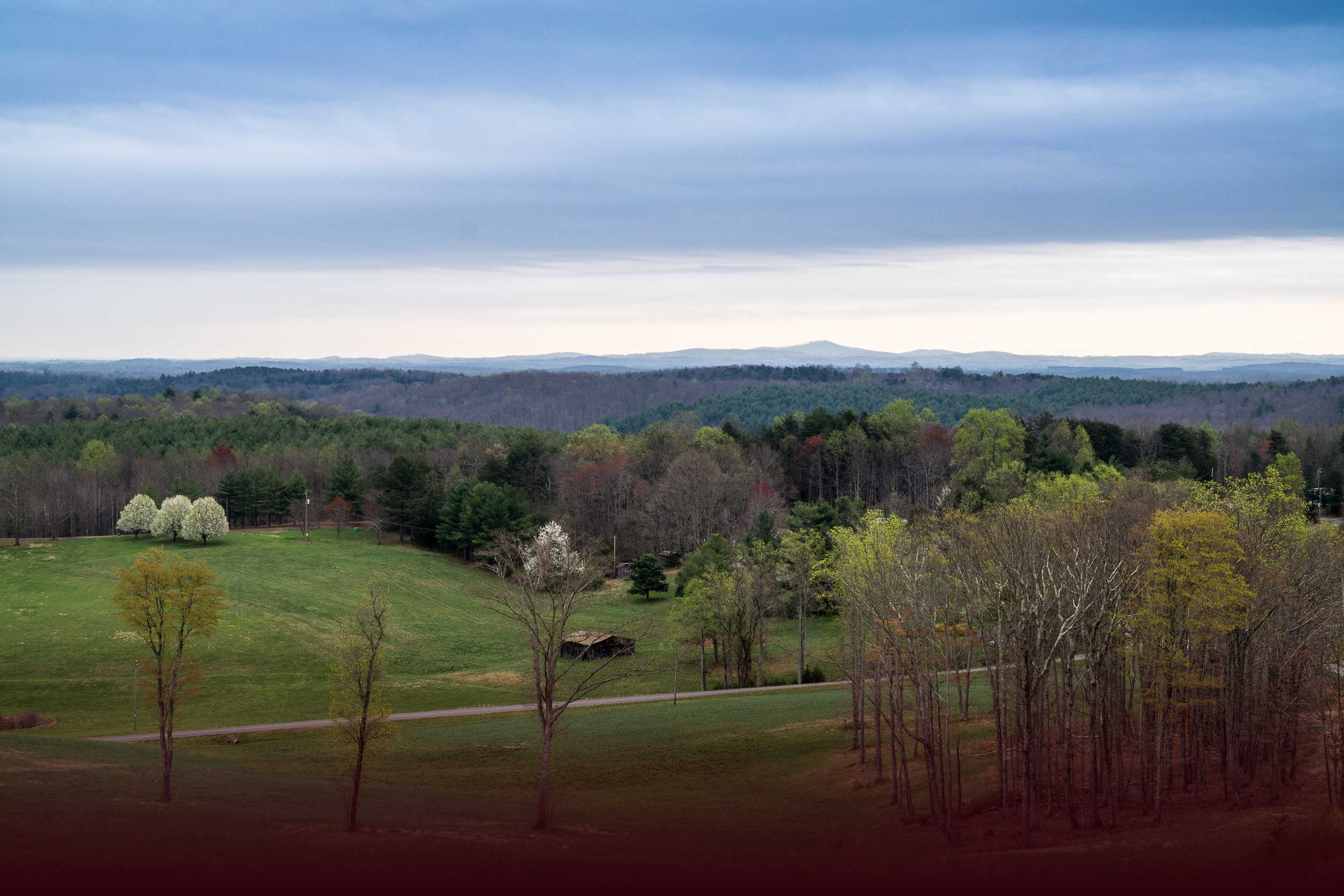
From the Roanoke Times we have snow in parts of Virginia including Patrick County and Stuart.
Source: Roanoke Times, 2010.12.25
A Christmas comeback for the major winter storm
UPDATE 11:15 AM: While the major winter storm is definitely back on, I should still emphasize that our region is, by any available forecast guidance, not in the core of the projected heavy snow, which will generally be farther east and particularly northeast. With snow streaking out of North Carolina northeastward throughout the afternoon and evening, the farther south and east you are, relative to Roanoke, the more snow you can expect. It appears widespread 2-6 inches can be expected with the second round of snow, with closer to the 2 to the north and 6 farther south and east — perhaps 4 or so in the Roanoke Valley. The amounts could still drift up or down depending on the developnment of the system. Of course we’re almost at the point now where eyeing radar and current observations — “nowcasting� — will overtake forecast model guidance for determining how this storm develops. I’ll be back on later this afternoon and tonight with additional updates. ENJOY YOUR CHRISTMAS. — END UPDATE
UPDATE 5AM: It’s a white Christmas in Southwest Virginia, and may become whiter than we ever imagined just a few hours ago. Two rounds of snow are very likely — an inch or two this morning with this fast-moving wave, and another round of moderate to possibly heavy snow that could dump at least as much, possibly twice as much, or more, this evening. Forecast guidance is rapidly evolving into developing a strong low pressure system much farther south and west than appeared likely several hours ago, as energy from two branches of the jet stream come into unison. This will likely sling another band of snow through the area this evening as the storm intensifies into a full-fledged blizzard north and east of us. Winter storm warnings are out for much of North Carolina into Southside Virginia, with winter weather advisories north of there. It’s quite possible these advisories and warnings will expand northward during the day and tonight. END UPDATE
Overnight modeling data has trended significantly westward with the potential large winter storm expected to develop over the Southeast U.S. later today. As of this writing shortly after midnight on Christmas Day, weather service offices in North Carolina have posted winter storm watches very far to the west over central North Carolina, only a couple counties east of Greensboro. Some models bring moderate snow back into parts of Southside and Southwest Virginia for Saturday night and Sunday. It is a trend that bears watching, definitely for anyone traveling eastward, and possibly even for our region.
Light snow is moving into the area from the west tonight and likely to continue off and on through the morning hours with an inch or two of accumulation possible. I’ll be taking some time off the blog for Christmas but will be back on at times, especially if there are major developments, and we’ll be watching the storm’s development on Christmas night.
Reference: http://www.roanoke.com/